The town
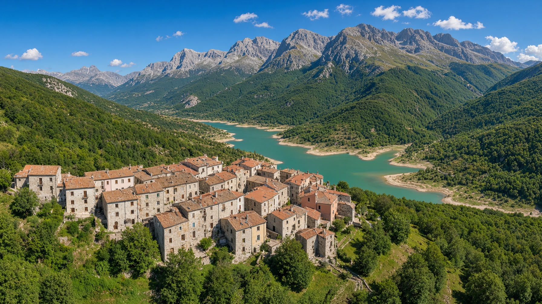
A hill in a valley, a lake that learned the village.
Gallo Matese sits at 875 metres in the Province of Caserta, Campania, on the Molise line. Gallesi call it Ru Uàllë.
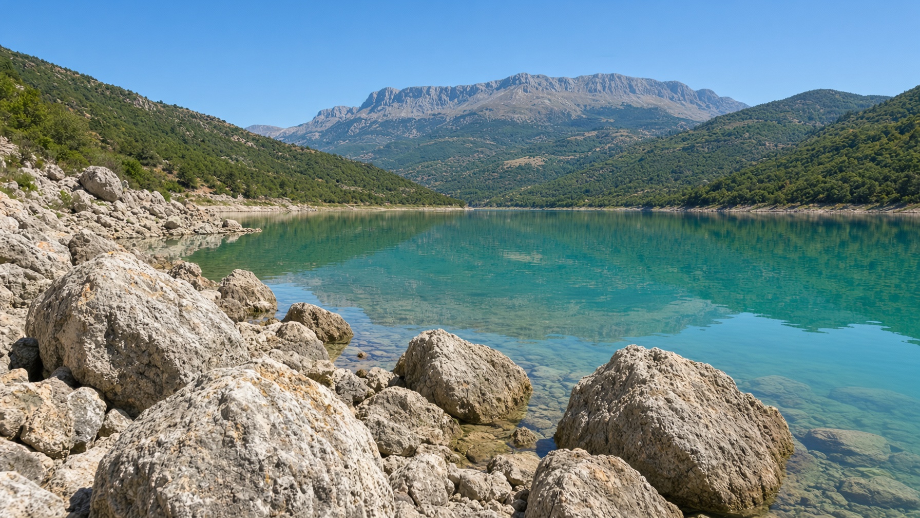
The town is compact, medieval in the bones, a cluster of limestone on a rise in a green bowl. Below it, an artificial lake on the Sava holds the houses twice on still evenings. The territory is mostly mountain, inside the Parco Nazionale del Matese. Three roads find it: from Fontegreca–Capriati a Volturno if you come from Venafro; from Monteroduni if you come from Isernia; from Letino if you come off the high lake of the Matese.
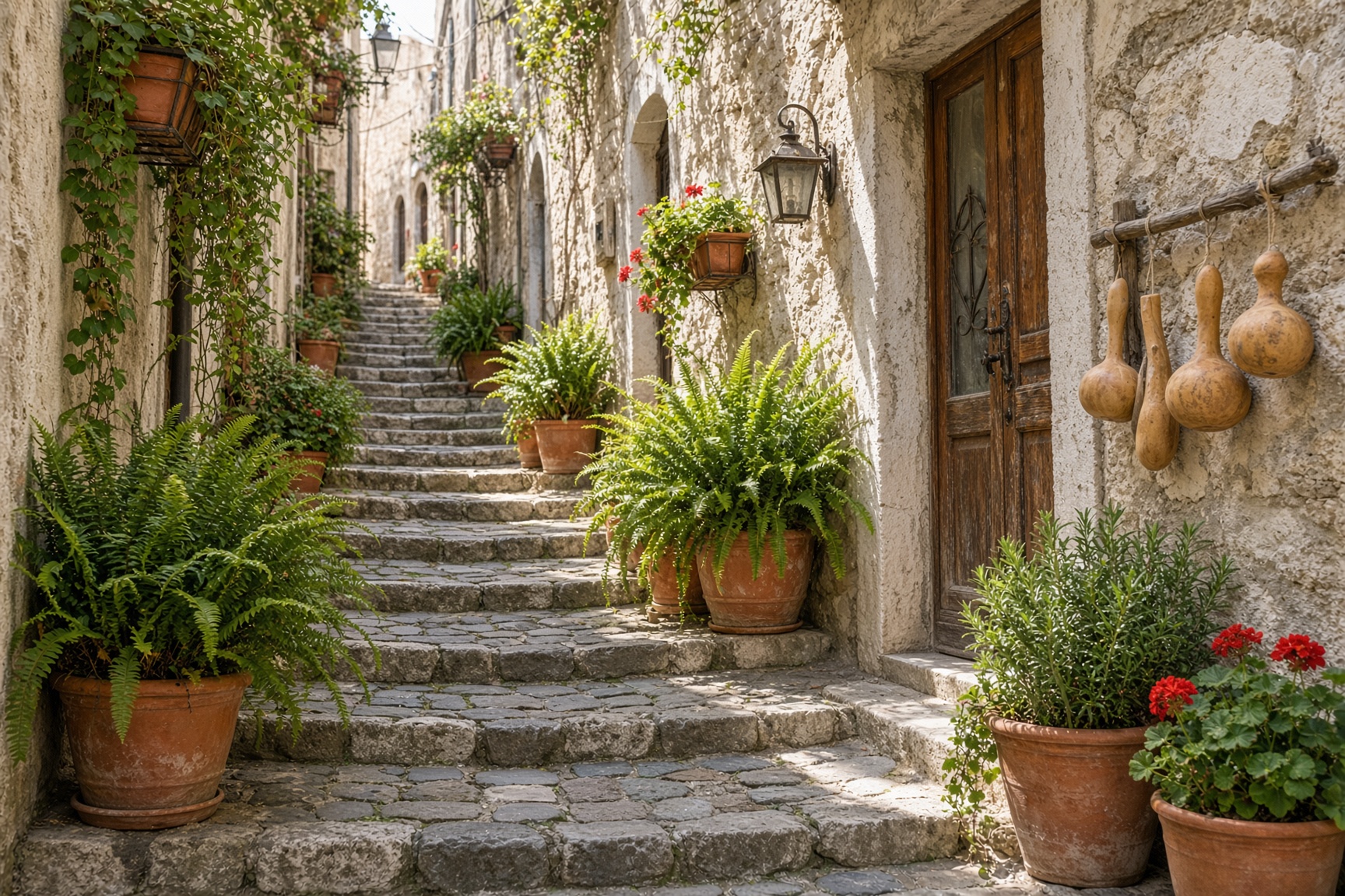
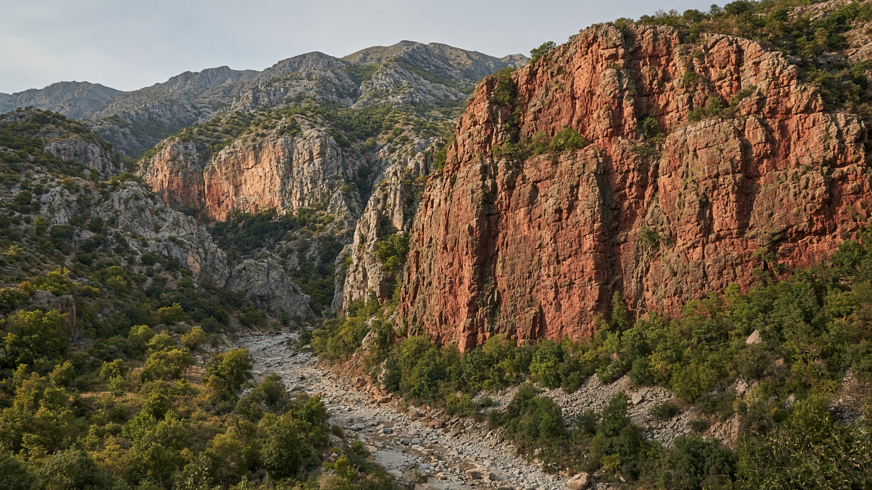
Vallelunga is the frazione, about ten kilometres out, where the red cliff — Masso Rosso, Piescurusc — drops into the gorge. Up in the town, the highest quarter is still called r’ C’m’ntier; a stub of a cylindrical medieval tower remains. There is an eighteenth-century palazzo of the Signori di Bojano in limestone, long empty — not a ruin so much as a paused sentence. The name on those rooms is the same name Gallesi still recognize on a Bronx doorbell and on the spine of the book: Boiano, Bojano, a district that once had enough weight to be written down. The palazzo does not prove every bearer was a lord. It proves the name was never a whisper on this hill. Two churches keep the hill: San Simeone, and Ave Gratia Plena with a late-baroque portal.
People live here now in the mid-four-hundreds, by recent ISTAT counts — a few hundred year-round, more in summer and for Sant’Antonio. That is not a tragedy headline. It is the present tense of a mountain comune that sent its children out and kept the table. For the century of leaving, see History. For the plate, see Food.
How the numbers moved
Unification found a working mountain town. The 1921 peak is the last full house before the long leaving. After that the documents thin. Summer still fills the alleys.
1861
2,015
Unification census
1921
3,417
Documented peak
2001
761
ISTAT
2018
533
ISTAT
Related places
Gallo is a fold in a larger mountain. Neighbors: Capriati a Volturno, Fontegreca, Letino, Longano, Monteroduni, Prata Sannita, Roccamandolfi.
The town
Gallo Matese
Stone alleys on a hill in the valley, 875 metres up. The Sunday table is here.
The water
Lago di Gallo
An artificial lake on the Sava, holding the village twice on still evenings.
Frazione
Vallelunga
Ten kilometres out. The red cliff — Masso Rosso, Piescurusc — drops into the gorge.
Sister ridge
Letino
Over the next fold. The 1877 anarchist band passed here before Gallo.
The high lake
Lago del Matese
Italy’s highest karst lake, in the neighboring comunes — not Gallo’s own water, and worth not mixing up.
The old gastaldate
Bojano
Molise. Named in the Alzeco tradition as the district where a Bulgar group was settled.
From the book
“On a map, a small mark. In a family, a weather system.”
The alleys, the lake, Vallelunga — and the longer walk through the rooms the census cannot count.
Read the opening chapter